
Overview
Mark a linear feature as a project alignment to enable chainage and offset calculations for features captured against it — useful for road, rail, pipeline, and corridor surveys.
Three Things Alignment Enables
- Map chainage and offset display — a widget at the bottom of the map shows your current chainage and offset from the alignment.
- Chainage markers — the alignment is automatically styled with distance markers along its length.
- Chainage default codes — attribute codes that calculate chainage and offset for any feature.
Marking a Feature as Alignment
- In the mobile app, select an existing linear feature.
- Tap the ⋮ context menu on its sheet.
- Select Use as Alignment.
To unmark, repeat and select Remove as Alignment.
T
Configuring Units
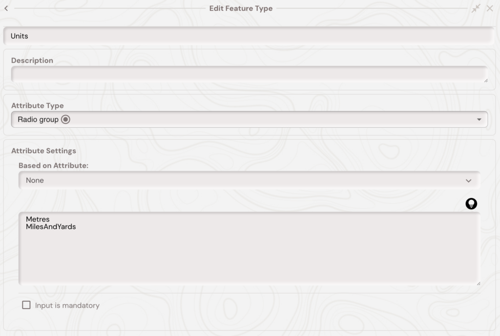
Chainage defaults to metres. To use miles and yards (e.g. 1M 13Y):
- Edit the alignment feature type in the web portal.
- Add a radio attribute
Unitswith optionMilesAndYards(optionally alsoMetresas default). - Set the alignment feature's
Unitsattribute toMilesAndYards.
Configuring Start Chainage
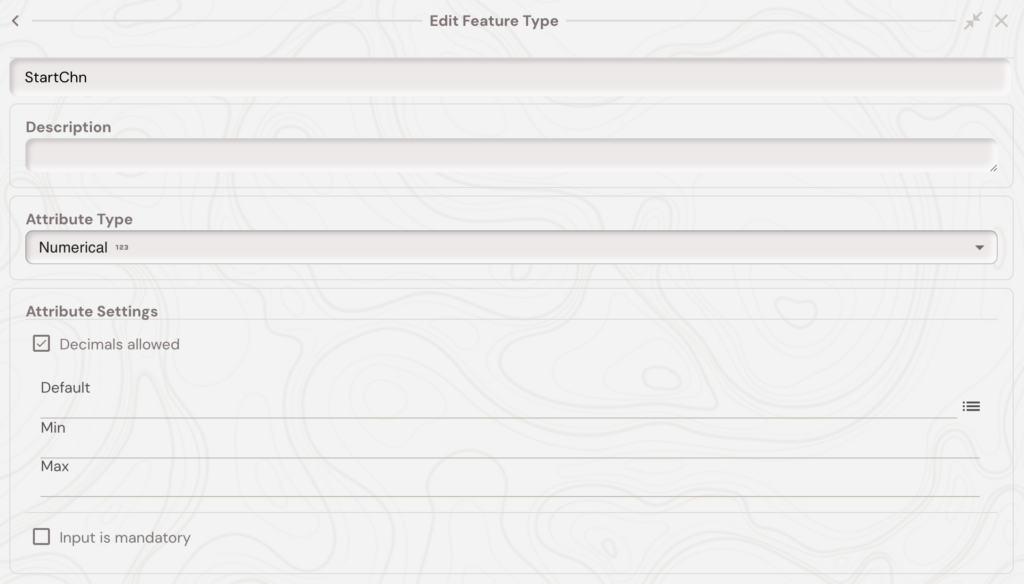
If the alignment doesn't start at 0, add a numeric attribute StartChn to the feature type. Soarvo offsets all chainage calculations by that value.
Configuring Marker Interval
Chainage markers are shown automatically, but you can control the spacing by adding a numeric attribute MarkerInterval to the alignment feature type. At large zoom distances the markers will still disappear - this only controls the spacing at small to medium zoom distances.
Set MarkerInterval on the alignment feature to the required interval:
-
10 — show a marker every 10 metres
-
50 — show a marker every 50 metres
-
0 — hide chainage markers
If using miles and yards, values such as `1M 13Y` are also supported.
Chainage Default Codes
Add these as default values on attributes of any feature type requiring chainage/offset.
Resolved when geometry changes:
!CHN— chainage along the alignment (point geometries only)!CHNOFFSET— perpendicular offset from the alignment (point geometries only)!CHNMIN/!CHNMAX— minimum/maximum chainage along the alignment (point or linear)
Resolved when feature is opened:
!CHNATTRIBUTE(attrName)— pull any attribute value from the alignment feature itself (e.g.!CHNATTRIBUTE(Units))
What's Next?