
Overview
The Soarvo Mobile App allows you to capture Point, Line or Area features with attributes and photos.
To Capture a feature press the green + button in the bottom right corner
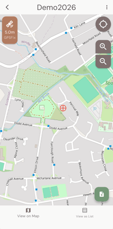
It will then show the features available to capture and also display on the left hand side if the feature is a point, line or area feature.
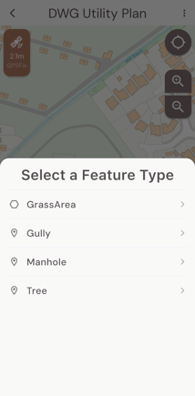
Select the feature and it will display the fields to be captured
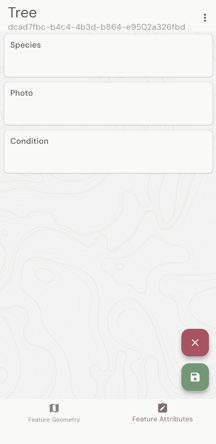
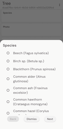
And then tap in the first field to start data capture. Click next to move to the next field, done when it is complete and the green save icon to save the record. Click the red cross to cancel the data capture.
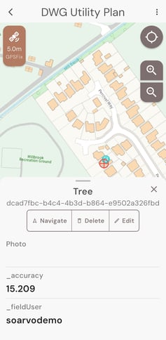
You can click on the record on the map to edit, or delete that record.
For linear and area features you will get a +node and -node to digitise the shape of the feature being captured.
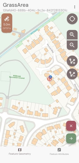
You can edit the geometry or override the GPS at any point during the data capture process by clicking on the Feature Geometry button at the bottom of the screen.